

Archived Maps
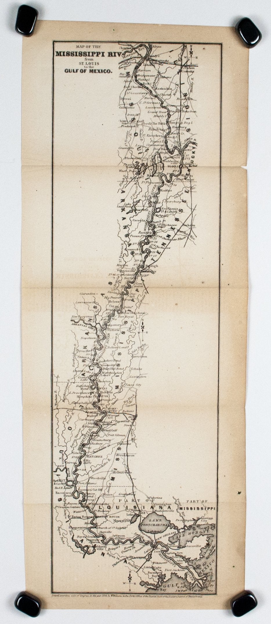
1867 Map of the Mississippi River - Edward Hall
12124
Sold Out
EDWARD HALL
Map of the Mississippi Riv from St Louis to the Gulf of Mexico
Continent: North America
Country: United States
State/Province: Mississippi, Arkansas, Missouri
1867
Copper Plate, Uncolored
Sheet Size 17.75 x 6.8 inches
Publisher: D Appleton & Co, New York
VG condition with page folds as issued, toning to edges and fold lines