


1808 A New Map of the United Provinces - Cary
11907
$220.00
JOHN CARY
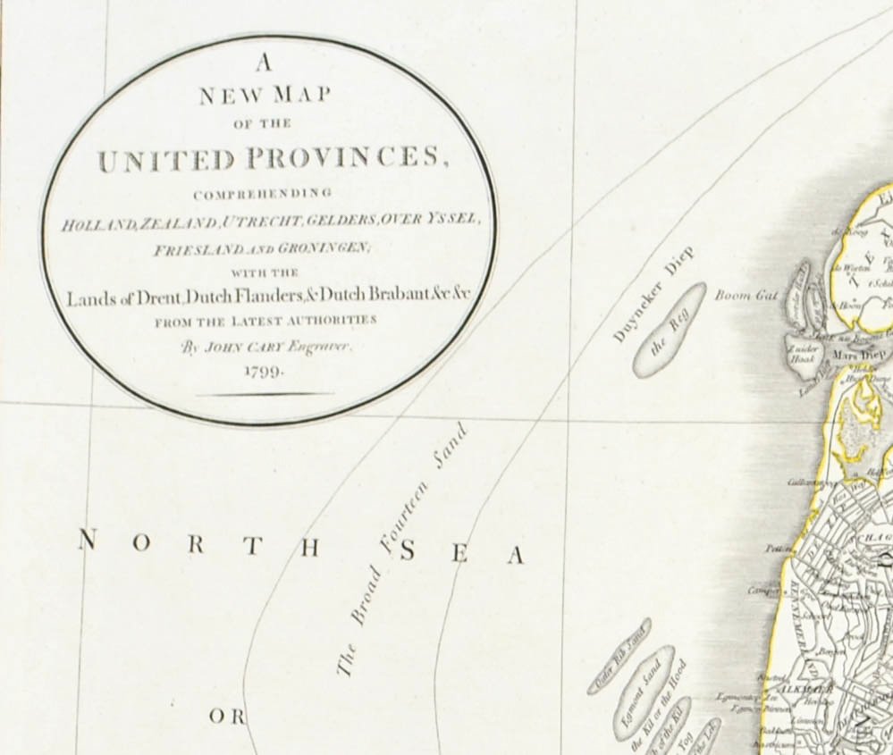
A New Map of the United Provinces, Comprehending Holland, Zealand, Utrecht, Gelders, Over Yssel, Friesland and Groningen; with the Lands of Drent, Dutch Flanders & Dutch Brabant &c &c From the Latest Authorities By John Cary Engraver, 1799.
Map Date 1799, Hand Colord borders and Outlines
1808
Copper Plate, Outline Color
Sheet Size 21.75 x 25 inches
VG- condition with page fold as issued, toning to center fold
Continent: Europe, Europe
Region: Low Countries
Country: Holland, Belgium, Netherlands
John Cary